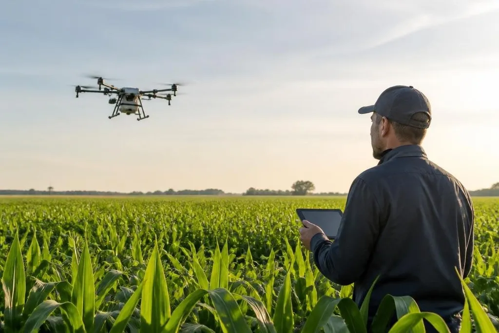
A farming drone can already carry a camera or spray system over fields. The harder question is whether it can turn that flight into a useful farm decision, with less work for the operator and less waste on the ground.
The advances below matter because they connect the aircraft to a real task: checking crops, applying treatment, or finding a problem early.
- Better crop images could give growers more detail than a normal camera.
- Smarter flight software may reduce the work needed to cover irregular fields.
- Spraying systems will need clear proof of safe, even application.
Crop data that leads to a farm decision
A normal camera records visible light. Multispectral cameras also record bands outside ordinary human vision, which can help show differences in plant condition.
The useful step comes after the flight: turning those images into a map that tells a grower where to inspect or act. That map could guide a field visit, a soil check, or a treatment plan.
It shouldn't be treated as a diagnosis on its own, because plant stress can come from water, pests, disease, weather, or poor soil. A drone can point to a place worth checking; a person still needs to confirm the cause.
Processing the images on the drone may also matter. If the aircraft can sort useful images during flight, an operator could spend less time moving large files after landing. The value depends on the result being clear enough to support a decision, not on the camera producing more data.
Flight control is another place where a farm-drone claim needs field proof. Robot24.com's farming-drone coverage can connect route planning, wind limits, battery use, and operator input to the test result. That matters when a drone must hold a safe path over uneven fields instead of following a short demo route.
More useful flight control
Fields rarely form neat rectangles. Trees, poles, slopes, wet ground, and nearby buildings can change the safest route. Flight software that uses field maps and live position data could let a drone adjust its path instead of forcing an operator to steer every turn.
That does not remove the need for supervision. A lost signal, a low battery, a bird, or a person entering the work area can still stop a flight. The system needs clear warnings and a safe return or landing behavior when the planned route no longer fits the field.
A practical test is easy to state: can the operator set a task, see what the drone is doing, and take control without confusion? If the answer is no, extra autonomy adds another problem to the farm.
Spraying that earns trust
Spraying drones attract attention because they can reach areas that are hard to cover with ground equipment. Their real test is application quality. The spray must reach the target, avoid nearby areas, and use a known amount of liquid under the conditions of that flight.
Wind, height, speed, nozzle choice, and liquid weight can all change the result. A system that works in calm weather may need a different plan when wind rises. Farms also need records that show where the drone flew and what it applied.
This is where field evidence matters most. A product video can show a drone crossing a crop row. It can't, by itself, prove even coverage or safe use across different crops and weather. Those claims need measured tests and clear operating limits.
Drones working as part of a system
The next useful step may be better links between the drone, farm maps, weather data, and the grower's existing records. A flight plan that ignores those systems leaves the operator to copy information by hand, which limits the time saved.
Several drones working in one area could cover more ground, but coordination brings new safety and control questions. Each aircraft needs a known task, a way to report its position, and a rule for what happens when one drone stops.
I'd watch the handoff between the drone and the farm software more closely than a larger camera or a faster motor. That is where a flight becomes part of daily work rather than another file waiting on a laptop.
A buying checklist for farm operators
Before you assess a new farming drone, check these points:
- Name the task: Decide whether you need crop images, spraying, mapping, or another job.
- Check the output: Ask what file, map, or record the system gives you after flight.
- Set the limit: Confirm its wind, weather, payload, battery, and operating limits.
- Plan the failure: Find out what happens after a lost signal, low battery, or blocked route.
- Price the full job: Include training, software, spare parts, storage, and any required operator time.
- Ask for field proof: Request test conditions and measured results for the crop and task you care about.
The advances worth watching are the ones that shorten the path from flight to action. Until makers show repeatable results across crops, weather, and field layouts, a farming drone remains a tool to test carefully, not a replacement for farm judgment.